


The actual border between the U.S. and Canada is much stranger than people realize
The border may look like a simple, mostly straight line, but it's got some weird quirks.
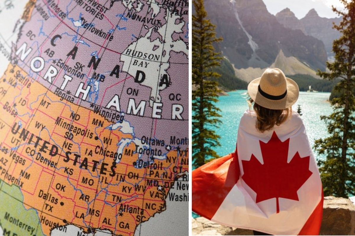
The border between the U.S. and Canada has some funky anomalies.
Canada has been the United States' friendly upstairs neighbor for over 150 years, with people on both sides of the border enjoying good relations and a mutual flow of tourism and trade. But the border that separates us is a bit…odd, and not just because President Trump's confusing second-term commentary about it: "If you look at a map, they drew an artificial line right through it, between Canada and the U.S. Just a straight, artificial line. Somebody did it a long time ago, many many decades ago. Makes no sense."
The border itself was formed before Canada officially became a country, when the 49th parallel was negotiated with Britain to become the boundary (without consulting the indigenous tribes that lived along it, which caused no shortage of confusion and displacement). But what appears to be a "straight, artificial line" is not actually straight (and no more artificial than any other manmade border). It's actually a kind of wobbly line with some dips and blips and sticky-outy-places and islands-in-dispute that the average American and Canadian remain largely unaware of.
Long before the leader of the free world began pontificating on the Canadian-U.S. border, CGP Grey created a video that shines a light on how strange it actually is.
Check this out:
- YouTubewww.youtube.com
The 5,500-mile-long border is the longest border between two countries in the world, and there's a 20-foot wide space along the border that's been deforested as basically a "no touchy" zone to delineate where it is. The border line looks straight on a map, but the actual, official border is actually 900 zig-zagging lines that twist and turn by as much as several hundred feet. The uncharted wilderness that made up most of the border when it was being established explains why the line is not perfectly straight. However, as CGP Grey points out, the hundreds of monuments marking the international border are in "about as straight a line as you could expect a pre-GPS civilization to make."
There are some strange anomalies along our border, including an island in the Northeastern U.S./Southeastern Canada that both countries believe belong to them. Machias Seal Island has a fascinating history as it's been a disputed territory since the origination of the border, with Canada and the U.S. holding different interpretations of what defines the parameters of the border. But thankfully, it's a peaceful dispute—or at least it has been so far.
- YouTubewww.youtube.com
Another weird anomaly on the Canadian border is the little rectangle of land that juts out from the top of Minnesota into the province of Manitoba, mostly over a lake. Oddly enough, that's a result of the erroneous way some maps that were used to plot out the border were made, which eventually led to a dilemma over how to connect the border in that area. Known as the Northwest Angle, or as locals call it, the Angle, this remote area of land and water actually marks the northernmost point in the contiguous U.S.
Another place where the 49th parallel caused an issue was with Vancouver Island, as the line cut off the southernmost tip of the island. That was easily solved by just going around it, but there is a tiny piece of U.S. land that gets cut off on the Canadian mainland, Point Roberts, which creates a bit of a strange reality for the 1,000 or so Americans who live there. Basically, residents can't drive anywhere else without crossing the border, including the kids who go to middle school and high school around the crook of Canadian land that connects the peninsula to the rest of Washington State. Not the end of the world to cross the border a few times a day as long as our countries remain on good terms.
There are several other places along the Canada-U.S. border where one country contains a little bit of the other, creating a fun little game of figuring out why certain places are the way they are. But again, as long relations between our countries stay friendly, those little quirks just constitute a fun part of our mutual history and are not a cause for conflict. Let's do our best to keep it that way.
 Baby boomer grandparents.via
  A stressed mom with her head in her hands.via
  A stressed mom doing laundry.via
 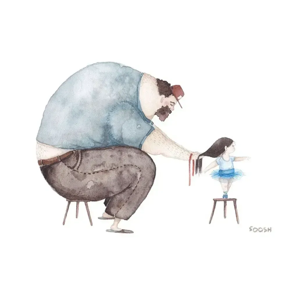 A father does his daughter's hair
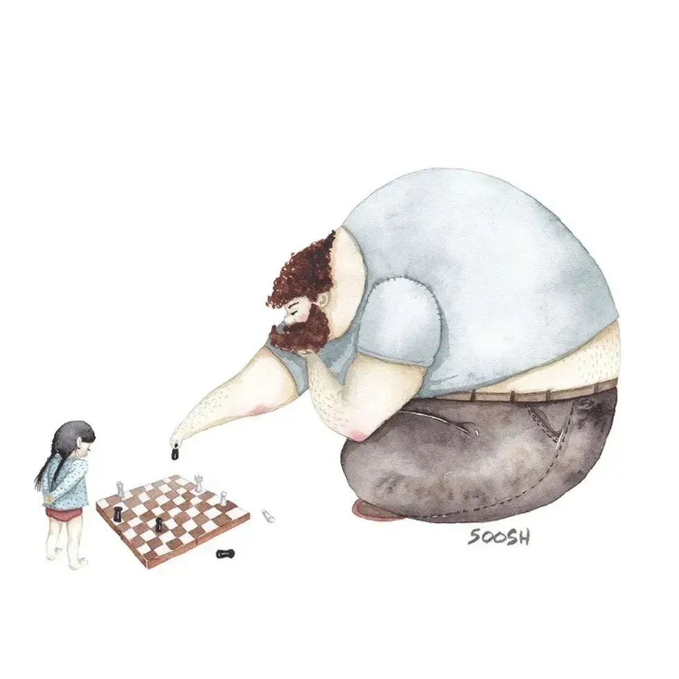 A father plays chess with his daughter
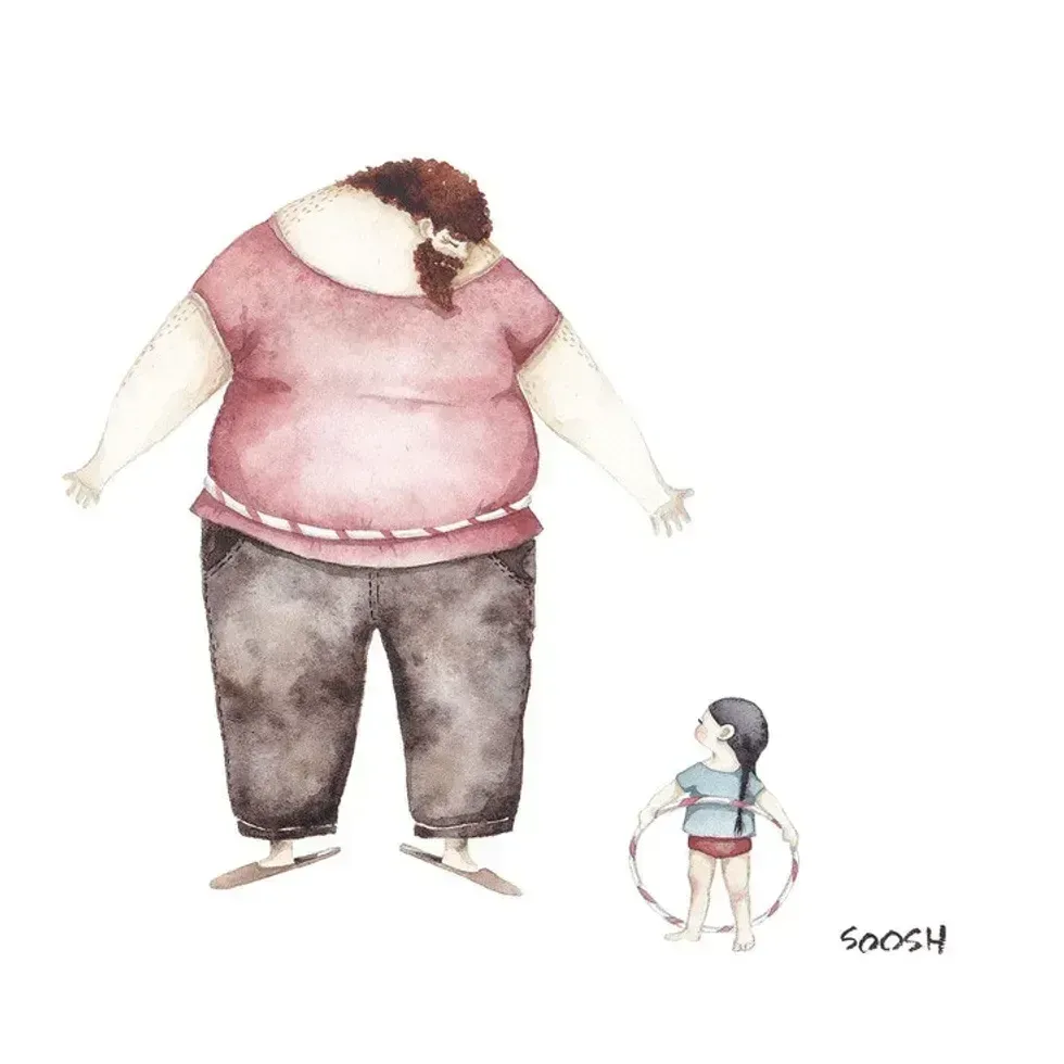 A dad hula hoops with his daughterAll illustrations are provided by Soosh and used with permission.
 A dad talks to his daughter while working at his deskAll illustrations are provided by Soosh and used with permission.
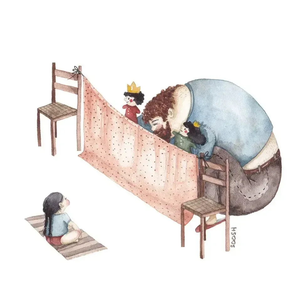 A dad performs a puppet show for his daughterAll illustrations are provided by Soosh and used with permission.
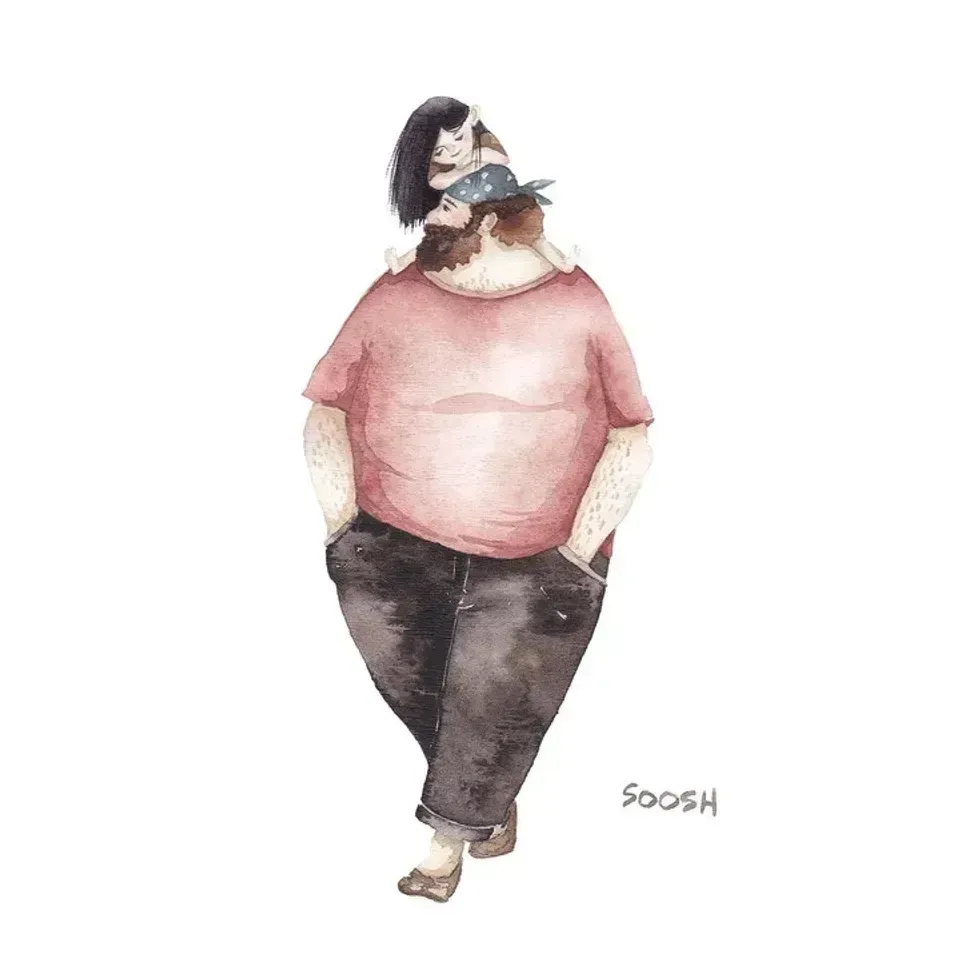 A dad walks with his daughter on his backAll illustrations are provided by Soosh and used with permission.
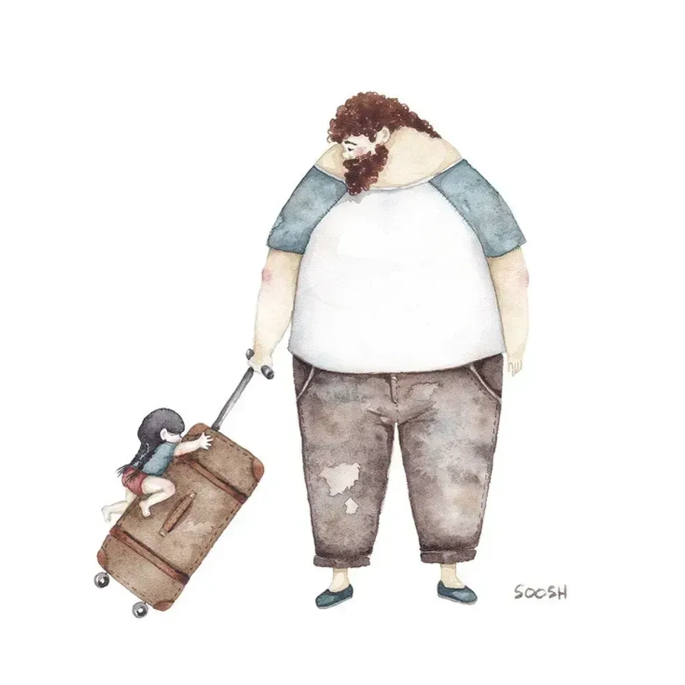 a dad carries a suitcase that his daughter holds onto
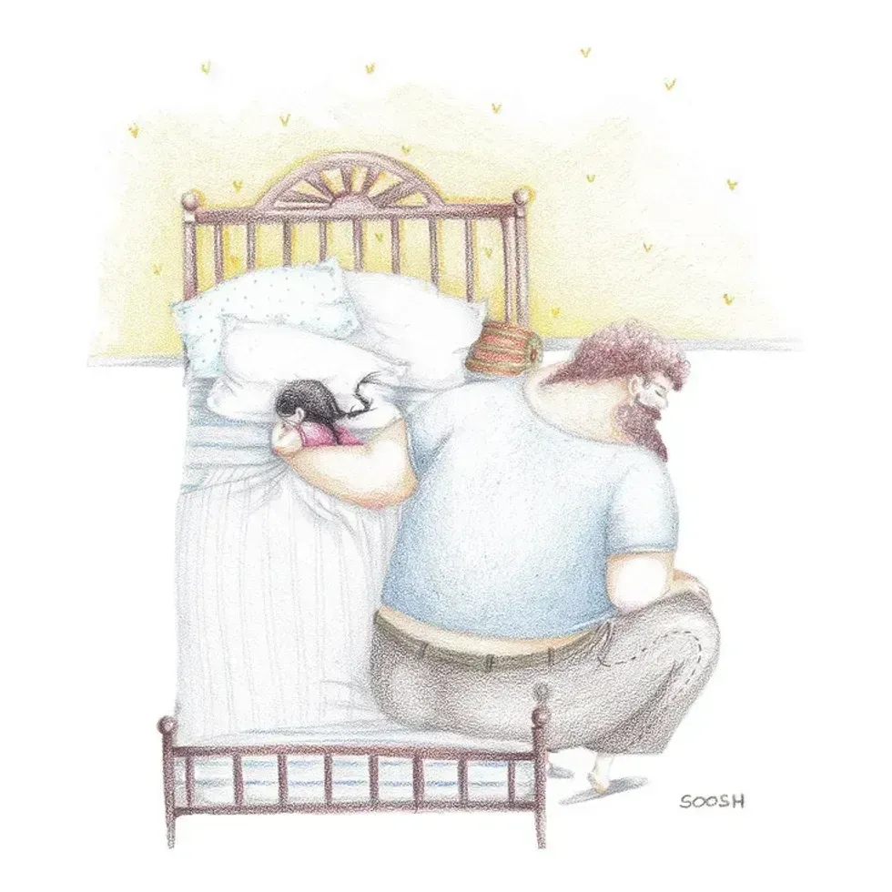 A dad holds his sleeping daughterAll illustrations are provided by Soosh and used with permission.
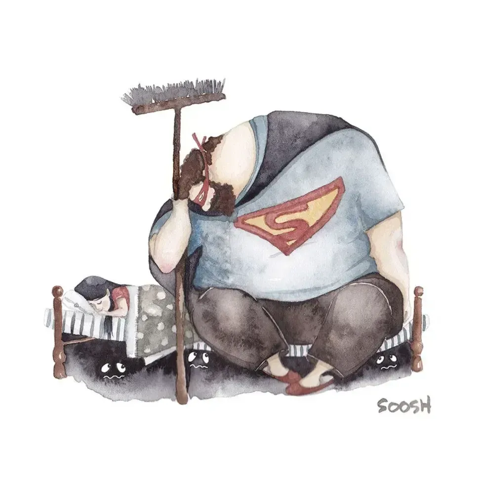 A superhero dad looks over his daughterAll illustrations are provided by Soosh and used with permission.
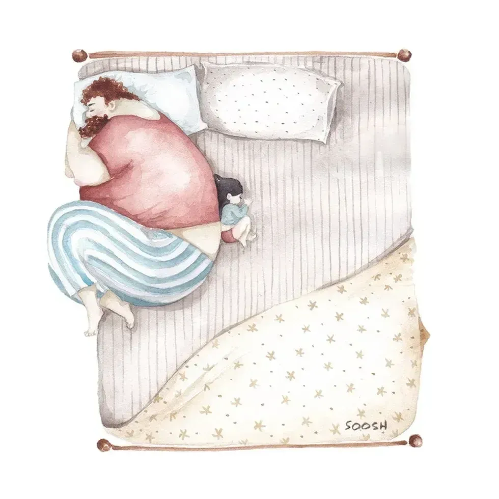 A dad takes the small corner of the bed with his dauthterAll illustrations are provided by Soosh and used with permission.
 Photo by
 A 1980s computer and television. via