"You get what you pay for" may be a popular saying, but it's not always true. Sometimes a bargain-priced item turns out to be a quality purchase and sometimes supposedly "high end" items turn out to be no better than their cheaper equivalents. Figuring out what's worth paying extra money for and what's not is an ongoing dilemma in this age of having everything under the sun available at our fingertips.
However, some people feel strongly about certain items being 100% worth every penny, even when they cost a whole lot of pennies. So, when someone asked, "What's a stupidly expensive adult purchase that you now swear by that you would buy again in a heartbeat?" thousands of people weighed in with their favorite splurges, from the practical to the sentimental.
Here are some of the top responses people agreed were worth spending a little extra of their hard-earned money on.
 If you think socks are socks, think again.Photo credit: Canva
$20-$30 socks
"I paid 80 dollars for three pairs of socks because I didn't look at the price. I just comfortably assumed I could happily afford it. That was about 6 years ago and I've just had to get rid of the first pair. Worth every penny. (Big thick merino wool ones that I wear with my work boots.)"
"I never realized how much difference there is between average socks and good socks until I discovered Darn Tough. $25+ is a lot of money for a pair of socks, and they're worth every penny. The unconditional lifetime warranty seals the deal for me. I realize this sounds like I'm trying to sell some socks, but I'm really not."
"If the word socks is ever uttered around my mother she WILL proceed to give the full sales pitch for darn tough socks and their lifetime warranty. I have these socks. I am still informed of the warranty at least 2-3 times a year by her."
"My dad was a mail carrier and would buy these special socks from their supplier. I swear the bottoms were almost an inch thick. They felt like wearing slippers and were so soft. He swore they were like 20 bucks a pair, which was crazy in the early 2000’s. He bought me a few pairs one year and I wore them for like 5 years and was devastated when they eventually ripped or got lost."
 You spend a third of your life on a mattress, so you want it to be a good one.Photo credit: Canva
A good mattress
"A high-end mattress Like, borderline 'do I need to finance this?' expensive. I used to think any mattress would do, but once I got one that actually supported my back and kept me cool at night? Life changing. I sleep like a pampered cat now. No regrets."
"Yes!!! In 2012, I bought a Stearns & Foster mattress set that I could barely pay for. I think it ran me around $1200? And it still feels wonderful 13 years later. It also has a 25-year warranty."
"As someone about to replace their mattress, this is a sign from the universe to splurge. There’s the old saying: spend money on the things between you and the ground (mattress, shoes, etc)."
"For folks that want this kind luxury: The Kirkland Signature mattresses at Costco are made by Stearns and Foster and they usually go on sale around once per year. Got a queen in 2024 for ~925 bucks."
 A good quality bra that fits is priceless.Photo credit: Canva
A decent bra (that fits well)
"As a woman, decent bras. The outlay is painful up front but the whole point is, nothing afterwards is. No digging in. No weird cup spills. No loosening throughout the day until it's pointless. No exposed wires after a week. No torn hooks after a couple of washes. Buy a good bra. You deserve it. Your girls deserve it. Your back deserves it."
"I used to go to a place that went as far as tailoring your bras. They closed. All the bra shops closed. The knowledge of fitting bras is disappearing. It is Very sad for all of our breasts. If you get the right fit you feel like you're not wearing anything."
"Good bras are sooooo worth it. Changing from an ill-fitting bra to a properly-fitted one makes most women look like they lost 10-20 pounds!
My favorite gift for a new college grad, a special birthday, to celebrate a new job or a divorce is a trip to Nordstrom (or a specialty lingerie store) for a fitting. I buy them at least 2 perfectly fitted bras.
"Before the Nordstrom visit, many friends poo-poo the idea as unnecessary saying ' my bras are fine.' But as soon as they're wearing the new bras regularly, they can't believe how much [more] comfortable they are, and how many people comment, asking them if they lost weight."
"I’m a horticulturalist, so I bend and move a lot for work. I finally ditched my old Target bras that were loose and itchy. I splurged on bras made for gardeners from Duluth Trading, and oh my lord, why didn’t I do that sooner!"
 Professional movers make moving so much less stressful, physically and mentally.Photo credit: Canva
Professional movers
"Professional movers. Greatest luxury item I’ve ever spent money on."
"I moved for work a few times and the company would come to my house and pack everything up. They would individually wrap every plate and cup, it was crazy."
"Even just having plenty of energy to direct what rooms to put boxes in, being able to unpack essentials as all your stuff is brought in is worth its weight in gold."
"Yes! We packed, but paid for movers. Planning on doing it again next time cause that was so freaking worth it! We moved to another apartment in the same city so it wasn’t a long trip, but even still they had that entire apartment packed, moved and unloaded in like 7 hours with an hour lunch break so really done in 6 hr. It would have taken me and my husband probably 6 hours to just move the sectional, some shelving & the washer and dryer."
 Cleaners save time, stress, and sometimes even relationships.Photo credit: Canva
Cleaning services
"Monthly cleaning service!!!! Best non-required use of my money to date."
"Same here! I do bi-monthly. I was killing myself working 9+ hour days and trying to keep a clean house. I haven’t cleaned a bathroom since."
"I didn’t realise the mental load that cleaning carried or the weight of resentment for having to do it until I outsourced it. Best decision I’ve made in a long time."
"Yard service for me. Instead of a couple sweaty hours followed by a couple days of bad allergies, I now send a couple texts, transfer some money, and it's done."
 Vet bills can be painful, but are 100% worth it.Photo credit: Canva
Vet bills
"The vet bill for my rescue cat's teeth removal. $5,000 all told. Ended the agony of stomatitis and saved his life. That was about 7 years ago and he's sitting on my lap right now. 🥰"
"$750 for anti-venom in 2007. She finally passed in 2019. I was a teenager when I foot that bill, it was everything I'd saved. Never regretted it for a second."
"I had a cat with a dead kidney and paid around $7k throughout her extremely short life because of her congenital kidney disease. She passed at 19 months after her dead kidney was removed and the remaining kidney started failing. It took all of the money I had left from my divorce and was saving, plus any other savings I had, and I still had to put some on credit.
I would do it again to get those extra months with her when she was feeling really good. I don’t think she had actually ever felt good before her nephrectomy. I love her and she saved my life, so I did what I could for her."
"We spent about $900 for an at-home euthanasia for our cat. We didn’t want him to be stressed out and scared in his last moments. 1000% worth it. This was after spending about $9k trying to save his life. Kidney disease/cancer can just f__k right off."
"Ours was $350 when we REALLY couldn’t afford it. Never again any other way. I love the idea of the lighting of the candle in the vet’s office for those in need, but home is the way to go."



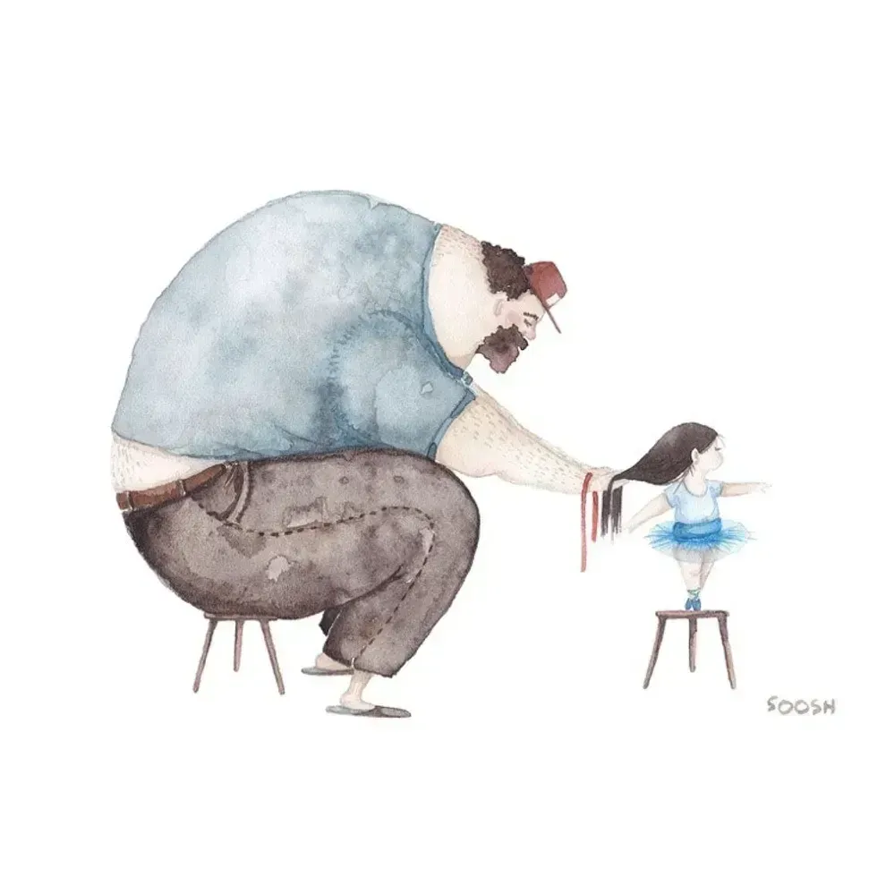 A father does his daughter's hair
 A father plays chess with his daughter
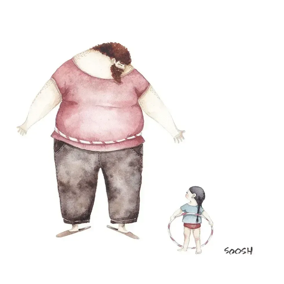 A dad hula hoops with his daughterAll illustrations are provided by Soosh and used with permission.
 A dad talks to his daughter while working at his deskAll illustrations are provided by Soosh and used with permission.
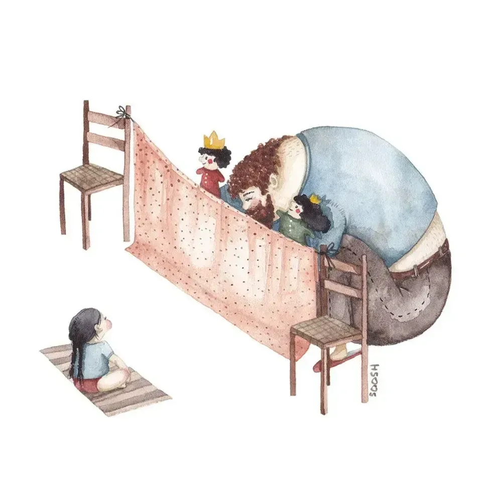 A dad performs a puppet show for his daughterAll illustrations are provided by Soosh and used with permission.
 A dad walks with his daughter on his backAll illustrations are provided by Soosh and used with permission.
 a dad carries a suitcase that his daughter holds onto
 A dad holds his sleeping daughterAll illustrations are provided by Soosh and used with permission.
 A superhero dad looks over his daughterAll illustrations are provided by Soosh and used with permission.
 A dad takes the small corner of the bed with his dauthterAll illustrations are provided by Soosh and used with permission.
 If you think socks are socks, think again.
 You spend a third of your life on a mattress, so you want it to be a good one.
 A good quality bra that fits is priceless.
 Professional movers make moving so much less stressful, physically and mentally.
 Cleaners save time, stress, and sometimes even relationships.
 Vet bills can be painful, but are 100% worth it.
 Happy Music Video GIF by Chrissy Metz
 Many pets on the street belong to unhoused people.
Photo by